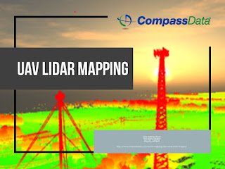
Lidar data
Lidar data
https://storage.googleapis.com/lidar-compassdatainc/index.html
What is LiDAR?
LiDAR stands for Light Detection and Ranging (LiDAR) – LiDAR is an active sensory system that uses laser light, an inertial measurement unit (IMU), and Global Positioning System (GPS) to rapidly measure distances between the sensor and points on the ground. This creates dense, highly accurate elevation data. Using GPS calibration sites within LiDAR collection grids that verify the GPS to provide "Ground Truth" for LiDAR data analysis. LiDAR analysis is a growing need in the GIS community and CompassData is at the forefront of this field. CompassData establishes and manages multi-use GPS calibration sites for digital sensors and LiDAR, working with clients such as the National Oceanic and Atmospheric Administration (NOAA) and the United States Geological Survey (USGS).
- Get link
- X
- Other Apps


Comments
Post a Comment