Mobile mapping

Mobile Mapping
https://storage.googleapis.com/mobile-mapping/index.html
Rapidly bringing data collection and attribute rich metadata with embedded images to multiple markets
- Utility Management
- Disaster & Relief
- Facility Management
- Public Safety
- Smart Cities
- Forestry
- Real-estate
- Asset Management
- Asset Maintenance
- Stockpile Inventory
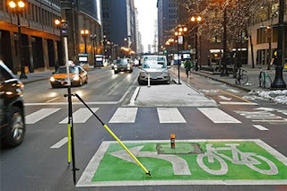
Street Level Mapping
- Capture 360-degree, 30-megapixel geo-referenced images
- Mobile mapping grade photogrammetric system
- Rapid collection at highway speeds
- Geo-reference of mapping data
- Cost effective asset management
- Enables post collection analysis of assets
- Avoid site rework and increase quality control
- Get link
- X
- Other Apps

Comments
Post a Comment